Fort Loudoun Lake gifts, ornaments and shirts
38 five-star reviews on our Etsy shop
Fort Loudoun is the lake that runs right through downtown Knoxville, 379 miles of shoreline from the dam at Lenoir City up. The river through town is on the outline here.

Start here
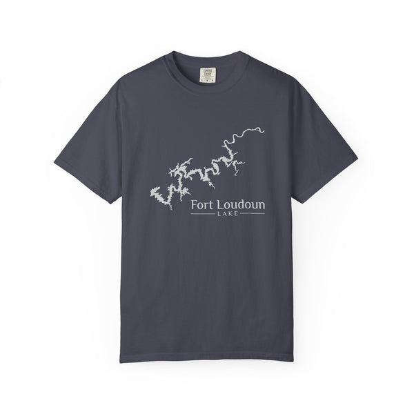


Fort Loudoun is the lake that runs right through downtown Knoxville, 379 miles of shoreline from the dam at Lenoir City up. The river through town is on the outline here.
Everything for Fort Loudoun Lake


Make it yours
Your names, a year, or your spot on Fort Loudoun Lake, on our Fort Loudoun Lake outline. Tell us what you'd like and we'll email you a few pictures and the price. You only pay once you've picked one.
Shirts, hoodies, mugs, posters, flags and more.

Fort Loudoun Lake, as we draw it
The outline follows the river through downtown Knoxville. Every piece here uses this same drawing.
NearKnoxvilleLenoir CityLouisville
Fort Loudoun Lake facts, with sources
- State and counties
- Tennessee: Blount, Knox and Loudon counties
- River
- Tennessee River, from Lenoir City to Knoxville
- Dam
- Fort Loudoun Dam at Lenoir City, built 1940-1943
- Managed by
- Tennessee Valley Authority (TVA)
- Surface area
- 14,600 acres
- Shoreline
- 379 miles
Sources: en.wikipedia.org, tva.com
Questions about Fort Loudoun Lake
Where is Fort Loudoun Lake?
Fort Loudoun Lake is on the Tennessee River in East Tennessee, extending about 50 miles upstream from Fort Loudoun Dam at Lenoir City to Knoxville.
When was Fort Loudoun Dam built?
TVA began construction in 1940 and completed the dam in 1943.
How big is Fort Loudoun Lake?
TVA lists 379 miles of shoreline and 14,600 acres of water surface.
Looking for a different lake? Tell us which one, and the lakes people ask for most get drawn next.
Tell us your lake